After leaving Lake Jocassee at Devils Fork State Park, the Beaver fam + Bunny (my/Benj’s mom) drove downstream to the Lake Keowee area at Keowee-Toxaway State Park.
This park is one that I had visited years ago while geocaching, and having grown up and gone to college in the area, I’ve driven across and been around Lake Keowee plenty of times.
This stop for us today was more of an educational one. The state park itself does have a hiking trail to the lake, but it is around a 4-mile one, not one that we wanted to tackle today. You can also drive to the lake for canoe rentals, but again, that wasn’t in the cards today. And for any adventure seekers, they’ve just installed a zipline course, which I’m sure is super fun and beautiful…but at $89 per person, we’ll need to save up a bit!
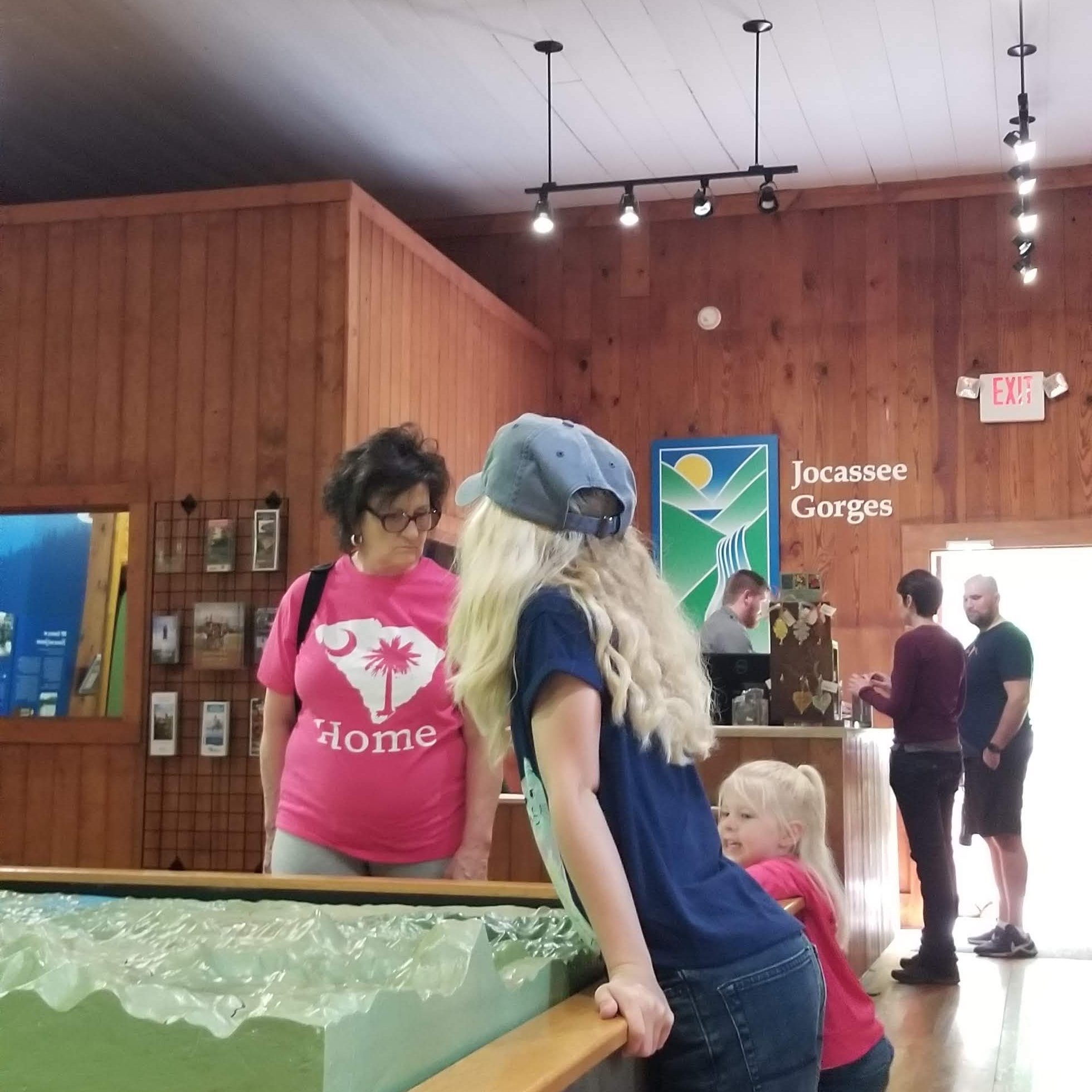
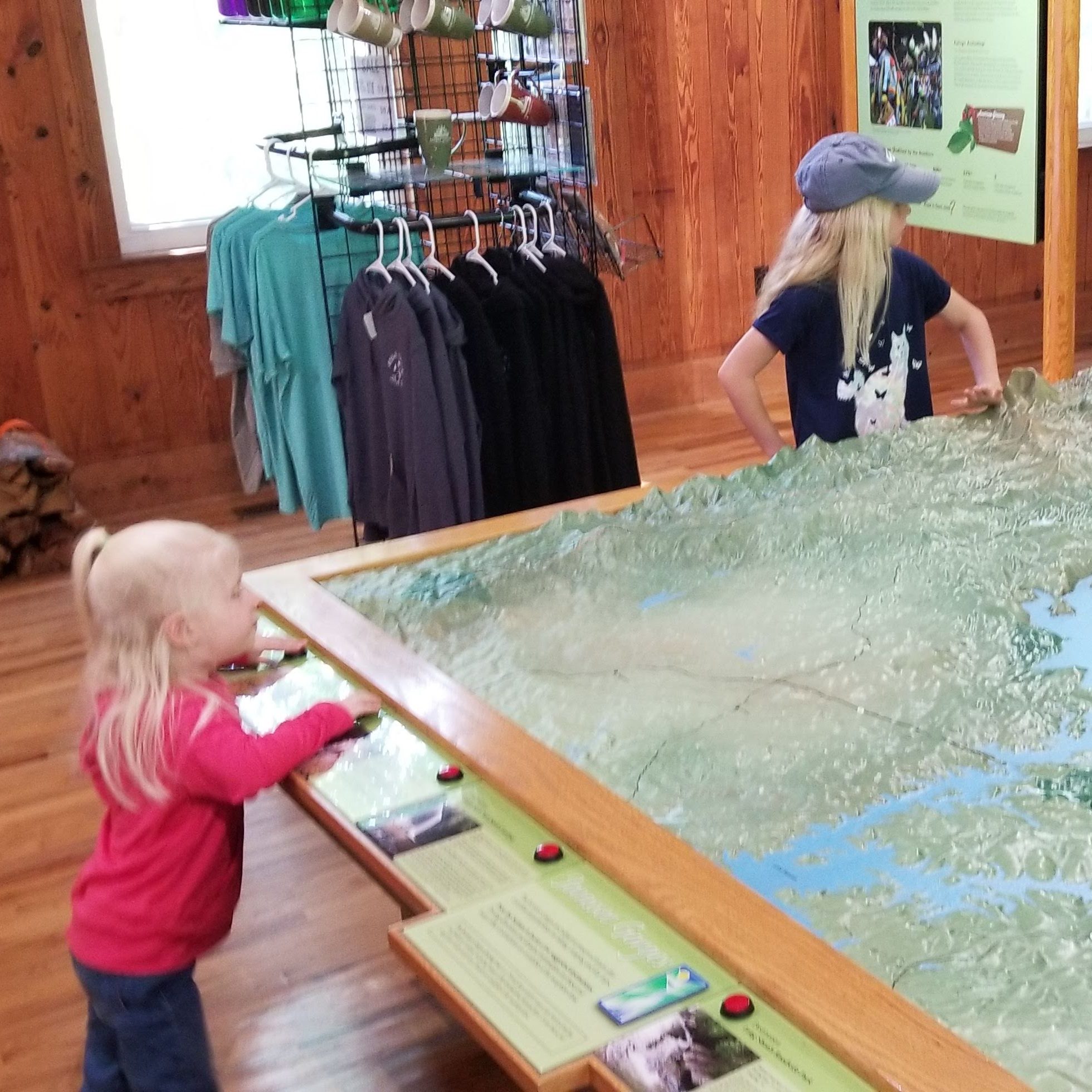
Instead, we spent our time at the Jocassee Gorges Visitors Center, part of the park just off of Highway 11 near the Oconee/Pickens County line. The building itself dates to the late 19th century and was the former Holly Springs Baptist Church. The ceiling inside is still original.
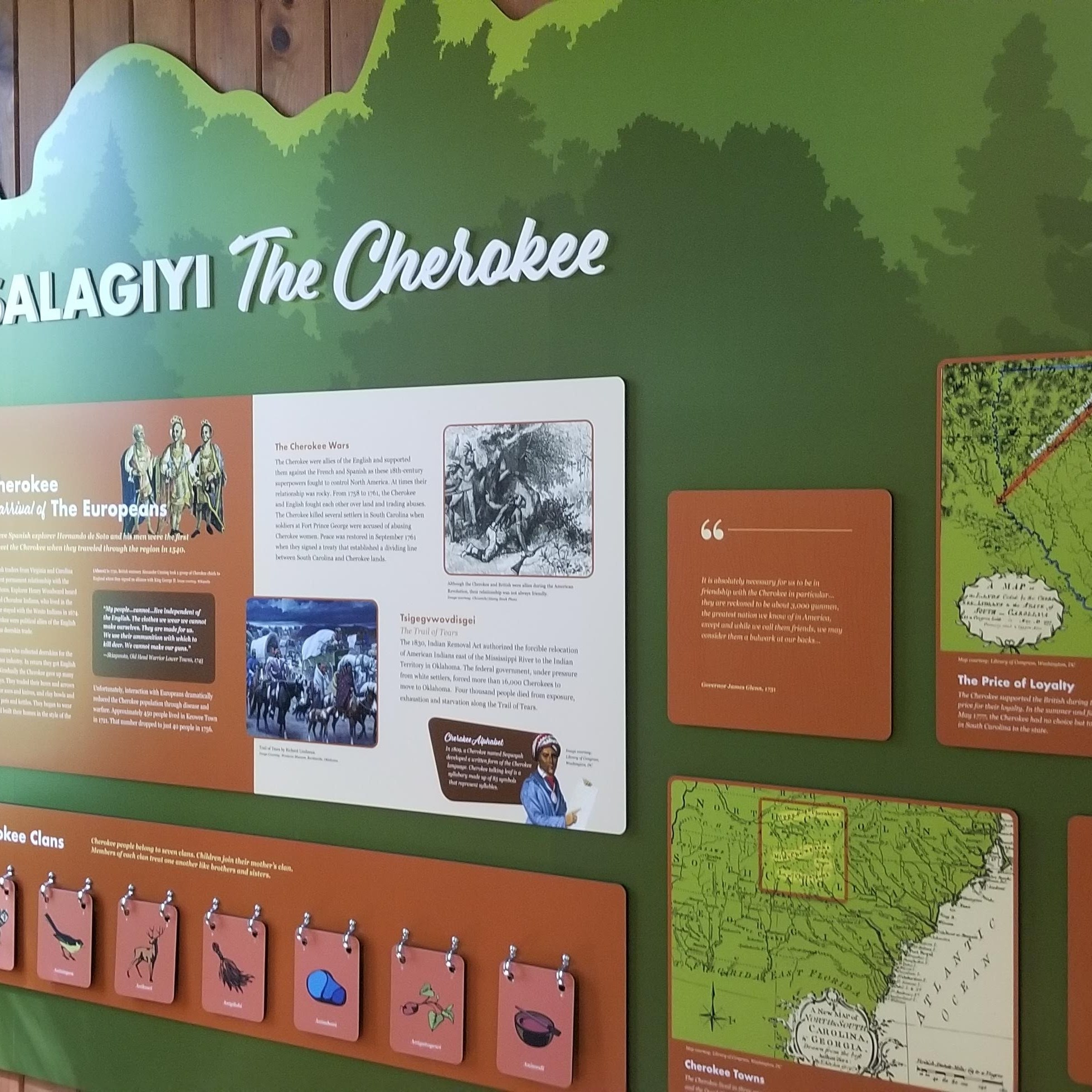
Now, instead of pews and stained glass, there are exhibits telling about the cultural and natural aspects of the area. There is a big topographical map in the middle that shows area features. Around the walls are various exhibits, most notably the history of the Cherokee in the area and the creation of the lakes. With those two aspects, you can definitely see how this area is one whose story is displacement and repurposing. (I suppose you could say the same is true for many places in the world.)
I realized here that so many of the area names are Cherokee place names…in fact, most all of the names used in this post so far (Oconee, Jocassee, Keowee, Toxaway…not to mention the nearby town of Seneca and other nearby creeks and rivers like the Eastatoe, Chauga, and Chattooga). The Cherokee language is related to other Iroquoian languages, which predominantly were located in the eastern Great Lakes region. So, perhaps at some point, a group came down to settle in the Blue Ridge Mountains.
(Side note: It is interesting that the stamp for this park includes a teepee, which the Cherokee didn’t live in. As the exhibits here point out, their houses were made of wattle and daub, which is like a structure of woven sticks covered in clay.)
With the arrival of the Europeans (Spanish explorers almost 500 years ago, then English/Scottish/Irish settlers a couple of centuries later), the loss of life and territory was in full swing. Of course, it wasn’t the case that the Europeans/colonists were always antagonistic towards the Native Americans, but it seems the greed for land ultimately reigned supreme. A place I learned about here was called Fort Prince George, which was a British-built fort to help secure the area against Cherokee attacks. The fort site is now under Lake Keowee.
Fast forward to the 20th century, and Duke Power wants to undertake a project to provide power to area residents. Thus, in the 1970s, they built the dams creating both Jocassee and Keowee. As such, whatever/whoever was down in the valley ultimately needed to get out in preparation for the flooding of the valley. We saw pictures of things like homesteads and hotels that would ultimately flood. Archaeologists came out to excavate sites like Fort Prince George before it would forever be underwater.
Now, the lake is beautiful and is used for recreation. Big houses line the lake, offering incredible vistas of the surrounding landscape. And while this is all great, it is important to stop and think about all that has happened on the land before us, the stories that it could tell. And if we discover any injustices in our study of the history, may we strive to do what we can to right them and/or never repeat them again.
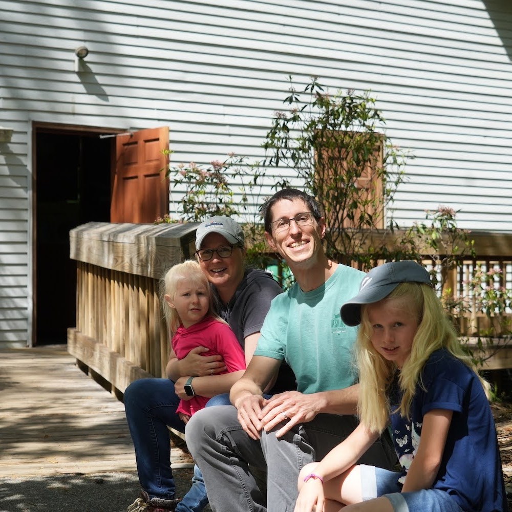
There are a couple of other pictures below to click through. Note the sour look on Teagan’s face, as the previous short night of sleep was weighing heavily on her, too! We then hopped back on Hwy 11 back towards Walhalla to our final park of the day–Oconee Station.